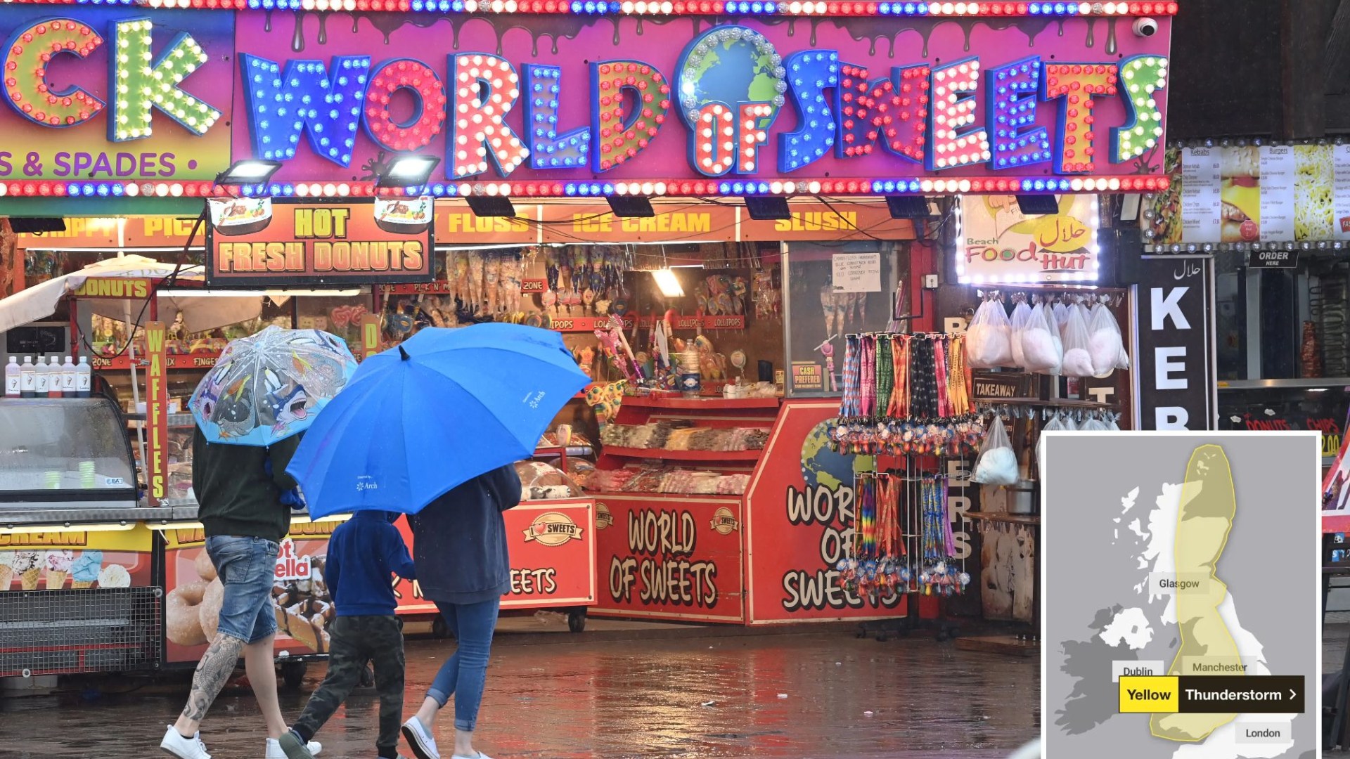
BRITS can expect to be hit with more thunderstorms today with flooding and damage to homes possible, as well as travel chaos.
Large parts of the UK are under a yellow weather warning which came into effect at midnight.
3

3
The warning covers the entire day, ending at midnight tonight.
It stretches from North Scotland, from central parts across to the eastern coast then goes south across western England, covering all of Wales and as far south as the Severn River.
Not everywhere within the warning area will see the heavy showers.
The Met Office warning says: “Whilst many places will miss them, thunderstorms may cause flooding and disruption in places on Monday.”
Where the showers and thunderstorms develop some places may see 30 to 40mm of rain in less than an hour and perhaps 60-80mm in one or two places.
Due to the thunderstorms, it adds there is a chance of delays to bus and rail services and there is a “slight chance” of power cuts.
Flooding could also lead to difficult driving conditions and a “small chance” that buildings could be damaged.
The forecaster predicts Wales, central and northern England, along with central and eastern Scotland will be the worst affected areas.
Elsewhere though, rain will be generally lighter and patchier.
There will be some warm, sunny spells too, especially in southeast England.
It will feel a humid day overall.
Those thunderstorms are likely to ease during the evening and into the night.
There will be some clear spells during the night, although showers will persist in some places.
It will feel fresher than recently in the north and west while it will remain humid in the east.
The southeast is forecast to see showery rain on Tuesday but this will slowly ease.
Elsewhere, it will be a day of sunny spells along with some showers, mostly in the north and west.
It will generally feel cooler and fresher.
The long-range weather forecast
From September 6-15
The Met Office says: “Towards the end of the week, higher pressure is likely to be focussed over northern parts of the UK, with low pressure over the nearby continent.
“The driest conditions are most likely over Scotland and Northern Ireland, with a greater chance of rain or showers, perhaps thundery, in England and Wales.
“These showery conditions are expected to become more widespread into the weekend, with even some northern areas possibly seeing rain or showers at times.
“It will also become more humid, especially in the south and east, with potential for some very warm conditions.
“Little overall change is anticipated into the following week, with central and southern areas most prone to rain/showers at times, while it tends to be somewhat drier in the far north.”
Sunny spells and showers will continue on Wednesday.
Further rain is likely across England and Wales, with some being heavy, particularly on Thursday, which will also be windy.
It will be drier and brighter in Scotland and Northern Ireland.
Met Office Deputy Chief Meteorologist, Nick Silkstone, said: “The forecast for the UK past the middle of the week is still uncertain, with a complex jet stream interaction taking place, and this determining the relative position of areas of high and low pressure relative to the UK.
“It is most probable high pressure will sit to the north of the UK, with lower pressure to the south allowing cloudier conditions, outbreaks of rain and the potential for further thunderstorms in the south, while further north more settled and brighter conditions are most probable.”
Nick added: “Less likely scenarios include the high pressure building more widely across the UK which would lead to more settled conditions and sunny spells, and there are other outcomes that lie between the two illustrated here.
“This complex jet stream interaction which drives these potential different directions the UK weather could take, will mostly conclude by late Tuesday, which will lead to us being able to identify the winning scenario by that point.”

3


