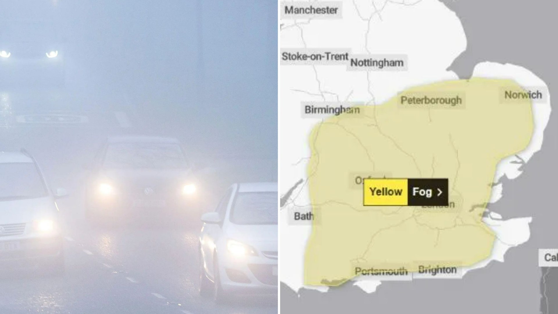
DENSE fog is blanketing parts of the UK this morning causing travel chaos.
The Met Office has issued a severe warning lasting right through rush hour and covering much of the South East of England and the Midlands.
3

3

3
The weather agency says: “Areas of fog, dense in places, are likely to cause travel delays this morning.”
The warning is in place until 9am, with the weather slowing down journey times – with cancellations to flights a distinct possibility.
The area covered by the alert includes both Gatwick and Heathrow airports.
It comes as the weather is set to turn increasingly wet and windy today.
Although it’s a dry start for many, a low-pressure system is expected to bring strong winds to the north and west – with a yellow wind warning in place until 3pm in Scotland.
This combined with high spring tides may result in some coastal impacts, potentially continuing into the weekend on some coasts, the Met Office says.
Chief Meteorologist Jason Kelly said: “A period of strong south to southeasterly winds is likely across western Scotland on Friday morning into the early afternoon, before easing and turning southwesterly through the afternoon.
“Wind gusts of 45-55mph are possible fairly widely for a time, and perhaps in excess of 60mph in more exposed locations.
“Given the wind direction and high spring tides, some disruption is possible.”
However, things will be dry and brighter further south and east, with temperatures near normal or just above average.
The weather is set to remain unsettled going into the weekend, with further rain at times tomorrow.
By Sunday, a deep area of low pressure will arrive from the Atlantic bringing more widespread strong winds, particularly in northern and western areas.
A yellow warning for wind has been issued from 3am on Sunday until midday on Monday.
Met Office Deputy Chief Meteorologist Tony Wisson said: “This low-pressure system is not expected to develop until Friday near the coast of Canada, so at this stage there is still a lot of uncertainty about the strength and track of this system as it interacts with the jet stream over the weekend.
“It’s likely that parts of Ireland will see impacts from this before the UK though.
“At present, a windy period is expected across the whole of the UK on Sunday and into Monday, but across parts of Scotland, Northern Ireland, Northwest England and North West Wales, there is an increased chance of some disruption.
“Initially a period of strong south to southeasterly winds will likely develop through Sunday morning, with gusts of 50-60mph possible in some inland areas, especially Northern Ireland and western Scotland, and perhaps up to 60-70mph along exposed coasts and hills.
“Winds will then likely turn southwesterly, with a period of especially strong winds possible during Sunday afternoon and evening in western Scotland, where gusts could potentially reach 70-80mph in exposed areas, and more generally 55-65mph in other parts of the warning area.
“These strong winds in conjunction with high spring tides, may cause some disruption.
“It’s likely that Sunday’s wind warning will be updated and refined as confidence increases, and more warnings for the rainfall that is expected is likely.
“It is therefore important people stay up to date with the latest forecast.”
Areas affected by the fog warning
Here is a list of the areas affected by the fog warning, which remains in place until 9am today:
East Midlands
Leicestershire
Lincolnshire
Northamptonshire
Rutland
East of England
Bedford
Cambridgeshire
Central Bedfordshire
Essex
Hertfordshire
Luton
Norfolk
Peterborough
Southend-on-Sea
Suffolk
Thurrock
London & South East England
Bracknell Forest
Brighton and Hove
Buckinghamshire
East Sussex
Greater London
Hampshire
Kent
Medway
Milton Keynes
Oxfordshire
Portsmouth
Reading
Slough
Southampton
Surrey
West Berkshire
West Sussex
Windsor and Maidenhead
Wokingham
South West England
Bournemouth
Christchurch and Poole
Dorset
Gloucestershire
Swindon
Wiltshire
West Midlands
Warwickshire
West Midlands Conurbation
Worcestershire


