
In the high desert east of Reno, Nevada, construction crews are flattening the golden foothills of the Virginia Range, laying the foundations of a data center city.
Google, Tract, Switch, EdgeCore, Novva, Vantage, and PowerHouse are all operating, building, or expanding huge facilities nearby. Meanwhile, Microsoft has acquired more than 225 acres of undeveloped property, and Apple is expanding its existing data center just across the Truckee River from the industrial park.
The corporate race to amass computing resources to train and run artificial intelligence models and store information in the cloud has sparked a data center boom in the desert—and it’s just far enough away from Nevada’s communities to elude wide notice and, some fear, adequate scrutiny. Read the full story.
—James Temple
This story is part of Power Hungry: AI and our energy future—our new series shining a light on the energy demands and carbon costs of the artificial intelligence revolution. Check out the rest of the package here.
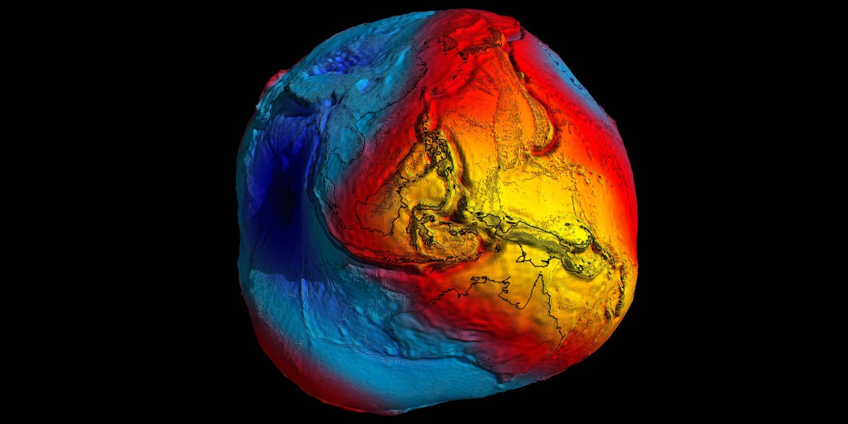
A new atomic clock in space could help us measure elevations on Earth
In 2003, engineers from Germany and Switzerland began building a bridge across the Rhine River simultaneously from both sides. Months into construction, they found that the two sides did not meet. The German side hovered 54 centimeters above the Swiss one.
The misalignment happened because they measured elevation from sea level differently. To prevent such costly construction errors, in 2015 scientists in the International Association of Geodesy voted to adopt the International Height Reference Frame, or IHRF, a worldwide standard for elevation.
Now, a decade after its adoption, scientists are looking to update the standard—by using the most precise clock ever to fly in space. Read the full story.