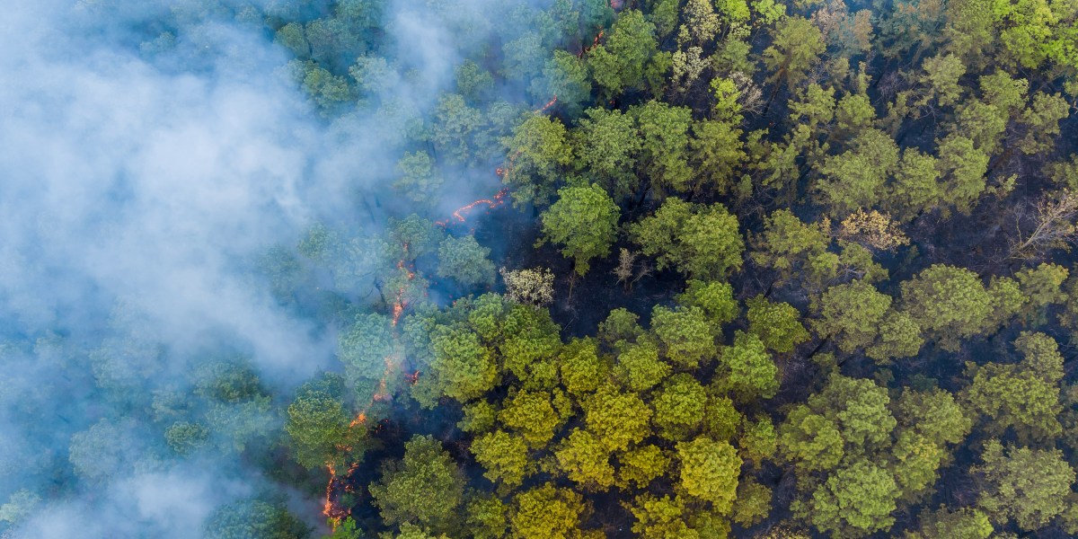
Anything from stray fireworks to lightning strikes can start a wildfire. While it’s natural for many ecosystems to see some level of fire activity, the hotter, drier conditions brought on by climate change are fueling longer fire seasons with larger fires that burn more land.
This means that the need to spot wildfires earlier is becoming ever more crucial, and some groups are turning to technology to help. My colleague James Temple just wrote about a new effort from Google to fund an AI-powered wildfire-spotting satellite constellation. Read his full story for the details, and in the meantime, let’s dig into how this project fits into the world of fire-detection tech and some of the challenges that lie ahead.
The earliest moments in the progression of a fire can be crucial. Today, many fires are reported to authorities by bystanders who happen to spot them and call emergency services. Technologies could help officials by detecting fires earlier, well before they grow into monster blazes.
One such effort is called FireSat. It’s a project from the Earth Fire Alliance, a collaboration between Google’s nonprofit and research arms, the Environmental Defense Fund, Muon Space (a satellite company), and others. This planned system of 52 satellites should be able to spot fires as small as five by five meters (about 16 feet by 16 feet), and images will refresh every 20 minutes.
These wouldn’t be the first satellites to help with wildfire detection, but many existing efforts can either deliver high-resolution images or refresh often—not both, as the new project is aiming to do.
A startup based in Germany, called OroraTech, is also working to launch new satellites that specialize in wildfire detection. The small satellites (around the size of a shoebox) will orbit close to Earth and use sensors that detect heat. The company’s long-term goal is to launch 100 of the satellites into space and deliver images every 30 minutes.
Other companies are staying on Earth, deploying camera stations that can help officials identify, confirm, and monitor fires. Pano AI is using high-tech camera stations to try to spot fires earlier. The company mounts cameras on high vantage points, like the tops of mountains, and spins them around to get a full 360-degree view of the surrounding area. It says the tech can spot wildfire activity within a 15-mile radius. The cameras pair up with algorithms to automatically send an alert to human analysts when a potential fire is detected.
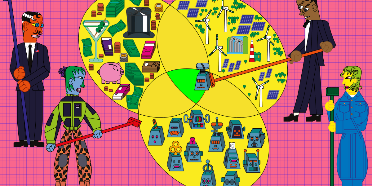
Having more tools to help detect wildfires is great. But whenever I hear about such efforts, I’m struck by a couple of major challenges for this field.